
Description
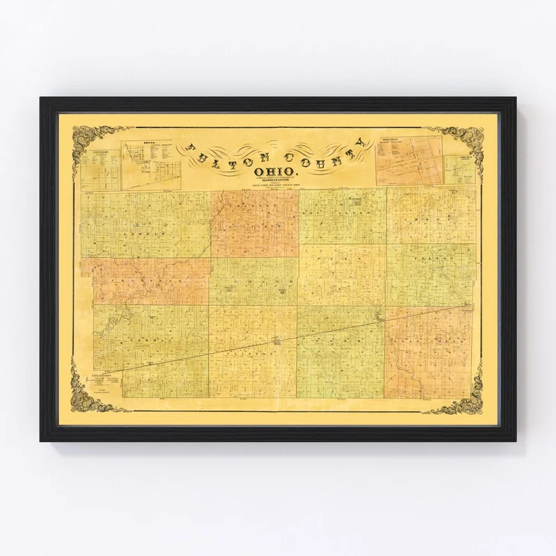
Discover a piece of history with our beautifully restored 1850 map of Fulton County, Ohio. Whether you have roots in the area or are just fascinated by local history, this map is a great way to connect with the past. Highlighting notable towns like Wauseon and Archbold, it offers a glimpse into what life was like when these cities were just beginning to grow.
This art piece isn’t just about nostalgia—it’s also about quality. Handcrafted on canvas or high-quality matte paper, each print arrives ready to hang with solid wood frames that add a touch of class to any room. Whether it’s for your home office or living room, this map will surely become a cherished conversation starter.
A thoughtful gift for those who appreciate local heritage and vintage charm, our printed maps make historical exploration feel personal. Celebrate the rich tapestry of Fulton County’s past today with this traditional yet unique decor piece.

Reviews
There are no reviews yet.